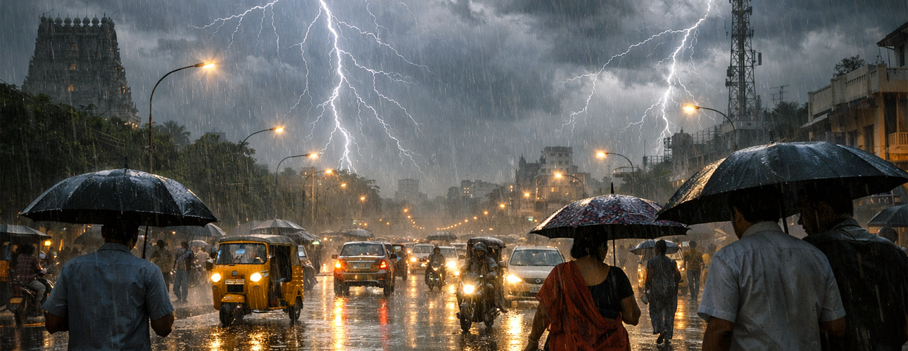
The Chennai Meteorological Department has forecast moderate rainfall accompanied by thunder and lightning across Tamil Nadu until March 22. Due to a lower atmospheric cyclonic circulation extending from the Gulf of Mannar to southern interior Karnataka, rainfall is likely to occur in several parts of Tamil Nadu, Puducherry, and Karaikal between March 19 and March 22.
Affected Regions:
Entire Tamil Nadu, Puducherry, Karaikal, Western Ghats districts, southern districts, Chennai and suburbs
Cities including Chennai, Erode, Thoothukudi, Tiruppur, Nagapattinam, Madurai, Virudhunagar, Ramanathapuram, Coimbatore
Western Ghats and southern Tamil Nadu likely to receive light rainfall on March 23 and 24
Impacts and Effects:
Moderate rainfall with thunder and lightning, light showers in isolated areas, possible disruption in urban mobility
Cloudy skies over Chennai with chances of localized rain
Maximum temperatures expected to remain slightly below normal
Increased soil moisture beneficial for agriculture
Causes and Responses:
Cyclonic circulation in lower atmosphere from Gulf of Mannar to southern Karnataka
Increased cloud formation due to atmospheric instability
Weather department issued advisory alerts
Continuous monitoring and updates by meteorological authorities
Additional Facts and Updates:
Highest rainfall of 90 mm recorded at Varattupallam in Erode district
Kazhugumalai (Thoothukudi) received 80 mm, while Vattamalai reservoir, Nagapattinam, Usilampatti recorded 50 mm each
Karaikal recorded 40 mm, several places including Andipatti and Peraiyur recorded 30 mm
Temperatures across Tamil Nadu, Puducherry, and Karaikal expected to remain slightly below normal till March 22
The meteorological department has advised residents to take necessary precautions during thunderstorms and rainfall conditions.